Destinations
A whole country, not one waterfall
Zimbabwe is small enough to cross in a week and varied enough that people are surprised by it. Here is every place we book, what it is actually for, and the month to be there.
Matabeleland North
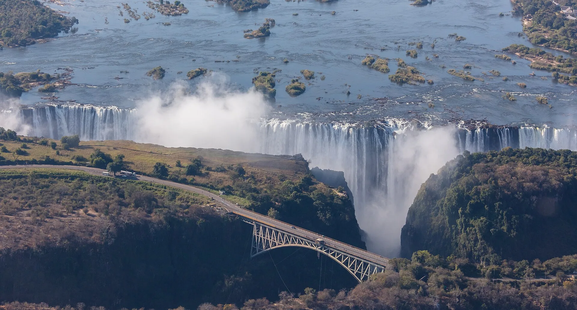
Victoria Falls
Mosi-oa-Tunya — the smoke that thunders.
The Zambezi drops the width of a small town into a basalt gorge, and the spray column is visible from kilometres away. A UNESCO World Heritage Site since 1989, and still the single reason most first-time visitors come to Zimbabwe. The town on the Zimbabwean bank puts the rainforest walk, the bridge and the sunset cruises within a short drive of each other.
- UNESCO World Heritage Site
- 1,708 m wide
- 108 m at its highest point
What you'd do
- Rainforest walk along the full length of the falls
- Sunset cruise on the upper Zambezi
- Bungee, gorge swing and zip line from the Victoria Falls Bridge
- Helicopter flight over the gorges
- White-water rafting below the falls in low-water season
Best time
High water and maximum spray from February to May. Clearer views, rafting and Devil's Pool from September to December.
From Harare
Roughly 1h 20m by air, or a long day by road via Bulawayo.
Matabeleland North
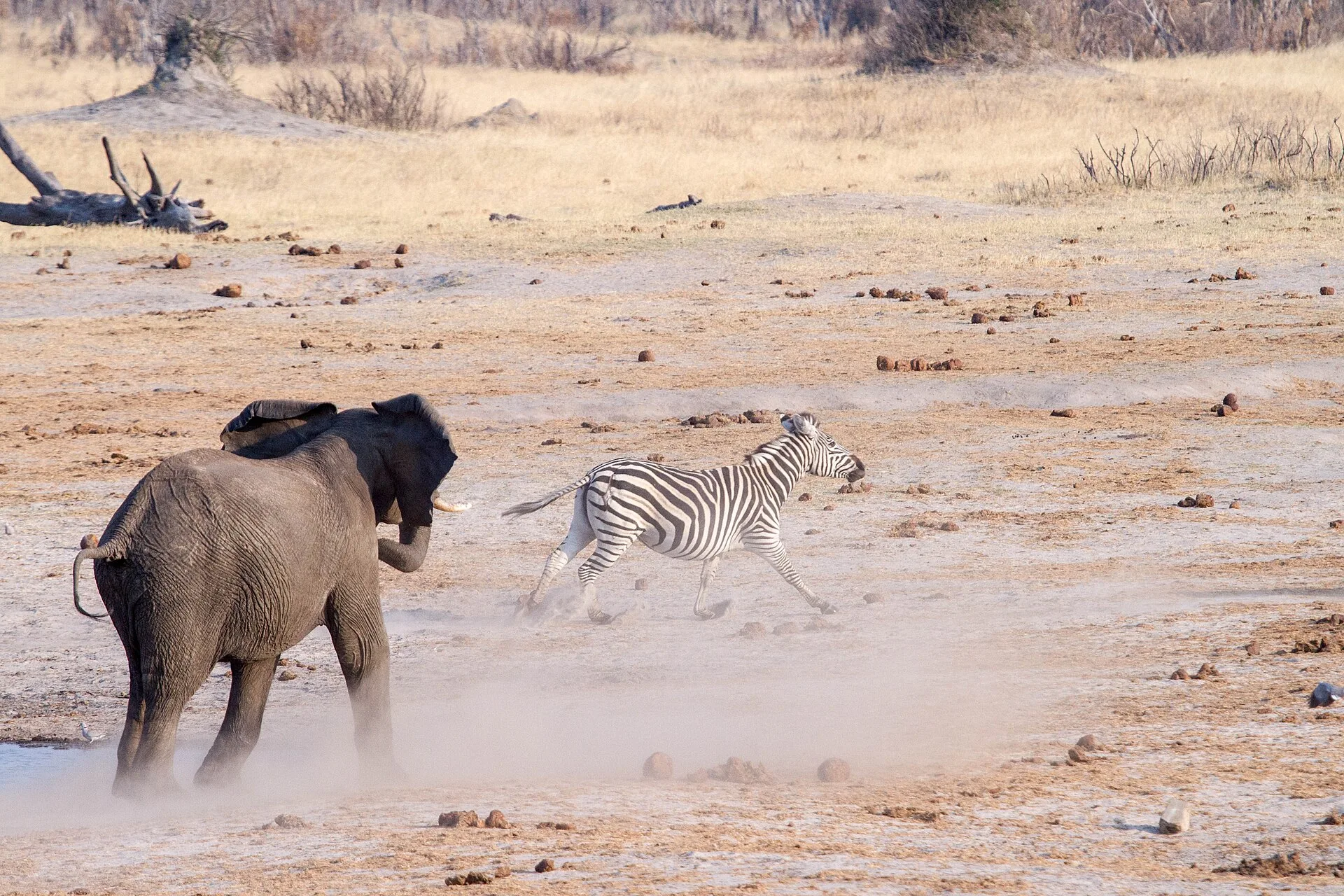
Hwange National Park
Zimbabwe's largest park, and its elephants.
Nearly 14,700 square kilometres of teak woodland and Kalahari sand, holding one of the largest elephant populations in Africa. There is no major river inside the park, so in the dry season the game concentrates around pumped waterholes — which is exactly why the sightings are so reliable. Most itineraries pair it with Victoria Falls.
- ≈14,650 km²
- 100+ mammal species
- 400+ bird species
What you'd do
- Morning and evening game drives
- Waterhole hides and photographic platforms
- Guided walking safaris with a licensed professional guide
- Night drives in the private concessions
Best time
July to October, when the game packs around the waterholes. Green-season birding peaks from December to March.
From Harare
About an hour by air to the park airstrips, or a full day by road.
Mashonaland West
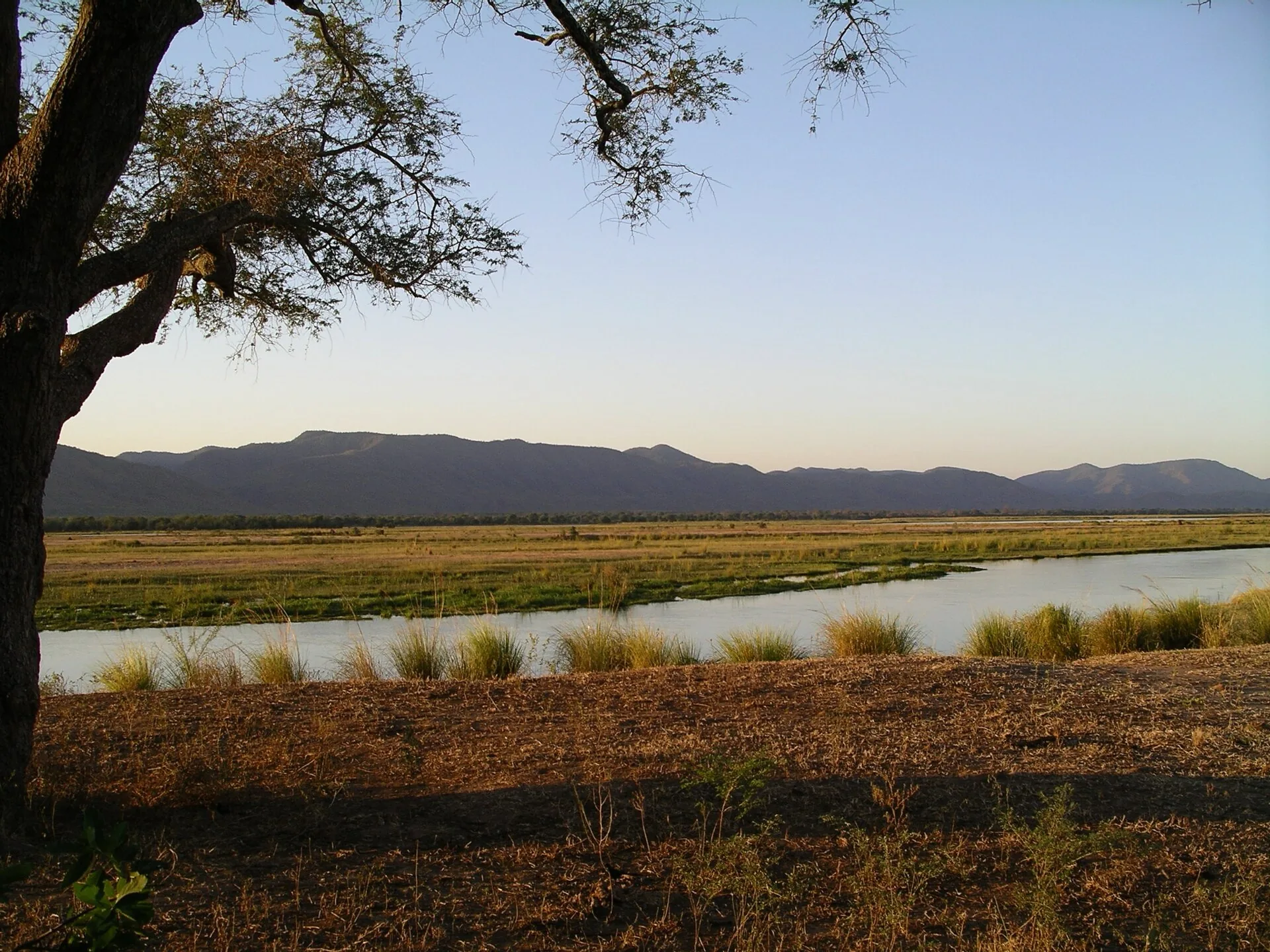
Mana Pools
Walk it. Paddle it. On foot among the albida.
A UNESCO World Heritage Site on the Zambezi floodplain, and one of the few parks in Africa where you are permitted to walk unguided. The winterthorn forest gives it that cathedral light every wildlife photographer chases. Canoe safaris run downstream past hippo pods and drinking elephant.
- UNESCO World Heritage Site
- ≈2,196 km²
- Walking and canoe safaris permitted
What you'd do
- Multi-day canoe safari on the Zambezi
- Walking safaris on the floodplain
- Game drives along the river terraces
- Tiger fishing
Best time
June to October. The park closes or becomes difficult to reach in the wet season from November to March.
From Harare
Around 5 to 6 hours by road, or a short charter flight to the airstrips.
Masvingo
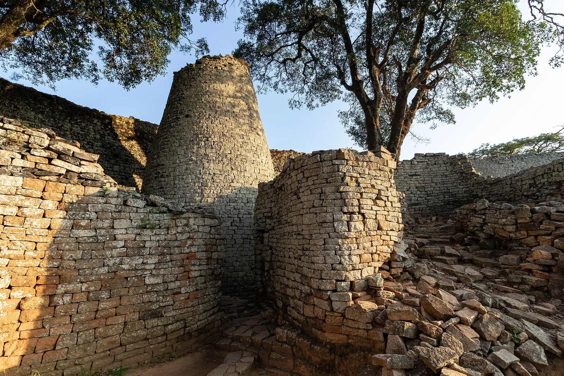
Great Zimbabwe
The stone city that named the country.
The largest stone ruins in sub-Saharan Africa, built between the 11th and 15th centuries as the capital of the Kingdom of Zimbabwe. The Great Enclosure's walls run eleven metres high and were laid without mortar. A UNESCO World Heritage Site, and the source of both the nation's name and the bird on its flag.
- UNESCO World Heritage Site
- Built 11th–15th century
- Dry-stone, no mortar
What you'd do
- Guided walk through the Hill Complex, Valley Ruins and Great Enclosure
- The site museum and the Zimbabwe Birds
- Lake Mutirikwi and the surrounding Masvingo countryside
Best time
Year-round. April to August is coolest for the climb to the Hill Complex.
From Harare
About 4 hours by road via Masvingo.
Matabeleland South
Matobo Hills
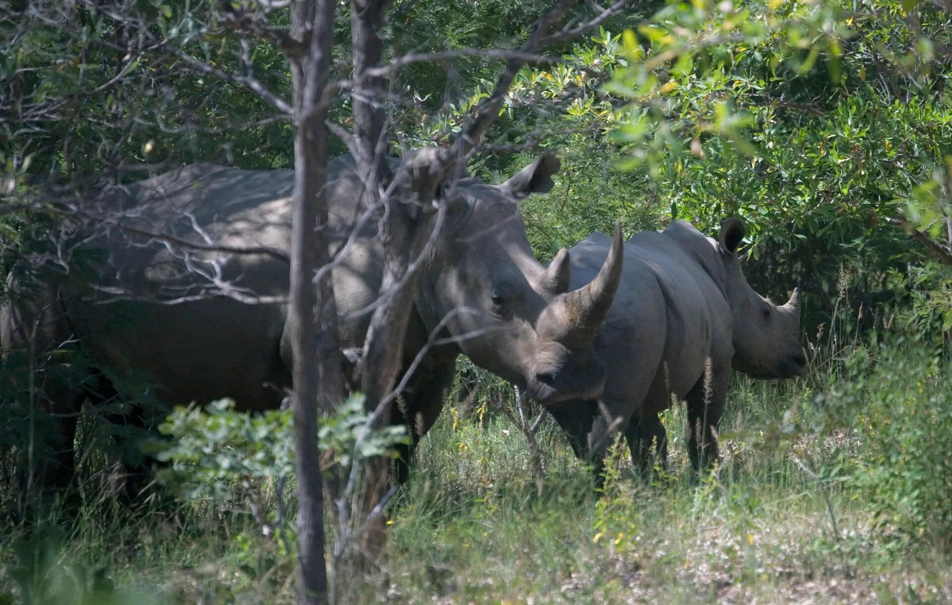
Balancing granite, rock art, and rhino on foot.
A UNESCO World Heritage Site of balancing granite kopjes south of Bulawayo, holding one of the densest concentrations of San rock art anywhere in the world. It also carries a strong black and white rhino population, and tracking them on foot with a guide is the reason most people come.
- UNESCO World Heritage Site
- Thousands of rock art sites
- Black and white rhino
What you'd do
- Rhino tracking on foot
- San rock art shelters, including Nswatugi and Pomongwe
- World's View and the Matobo granite domes
- Game drives and birding — the park has a notable raptor population
Best time
April to October for dry, clear walking conditions.
From Harare
About 6 hours by road, or fly to Bulawayo and drive an hour.
Manicaland
Nyanga & the Eastern Highlands
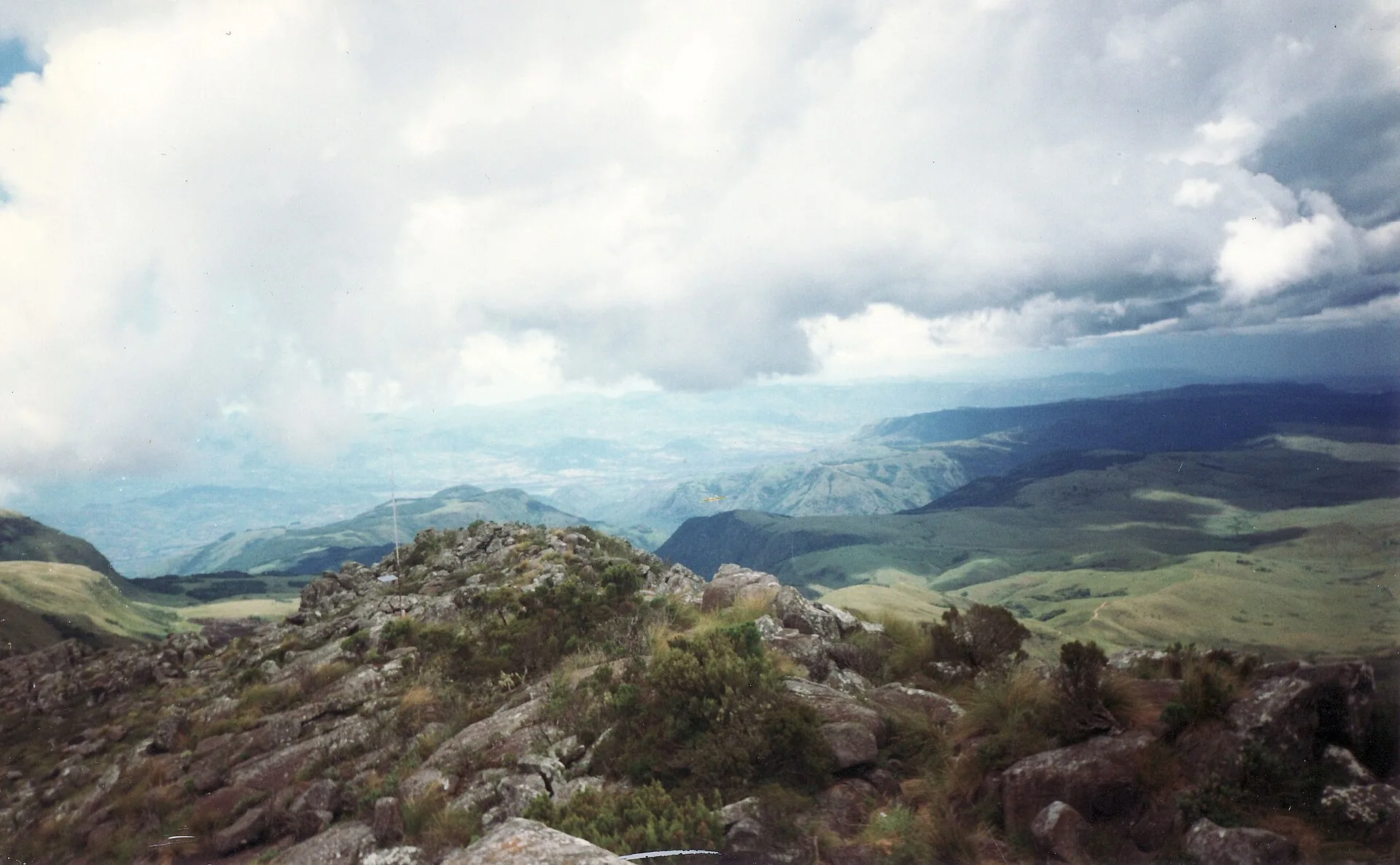
Cool air, waterfalls and Zimbabwe's highest ground.
The Eastern Highlands run along the Mozambican border and look nothing like the rest of the country — montane grassland, pine, trout streams and mist. Mount Nyangani is the highest point in Zimbabwe at 2,592 metres, and Mutarazi Falls drops 762 metres off the escarpment. It is the part of Zimbabwe people go to for a jersey and a fire.
- Mount Nyangani, 2,592 m
- Mutarazi Falls, 762 m
- Trout streams and montane forest
What you'd do
- Hiking Mount Nyangani and the Nyanga plateau
- Pungwe and Mutarazi falls, and the Mutarazi skywalk
- Trout fishing on the Nyangombe and Pungwe
- Bvumba gardens and the Vumba highlands near Mutare
Best time
April to September for clear, cool days. The highlands are green but misty from December to March.
From Harare
Around 3 to 4 hours by road via Rusape.
Mashonaland West
Lake Kariba
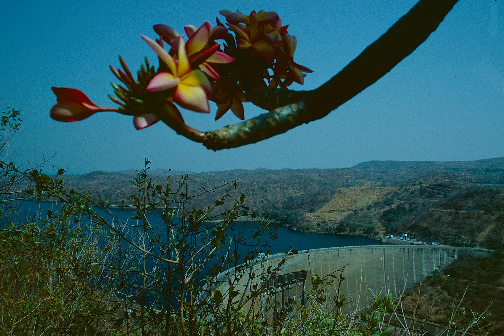
Houseboats, tiger fish and the best sunsets in the country.
One of the largest man-made lakes on earth, created when the Kariba Dam closed across the Zambezi in 1959. Drowned mopane trees still stand out of the water, elephant come down to drink on the Matusadona shoreline, and the standard way to see it is from the deck of a houseboat that goes wherever you ask it to.
- Dam completed 1959
- Matusadona National Park on the shore
- Tiger fishing
What you'd do
- Multi-day houseboat charter
- Tiger fishing, including the Kariba Invitational season
- Game viewing along the Matusadona shoreline
- Sunset cruises from Kariba town
Best time
April to October. Tiger fishing is strongest from August to November as the water warms.
From Harare
About 4 hours by road, or 45 minutes by air.
Harare Metropolitan
Harare
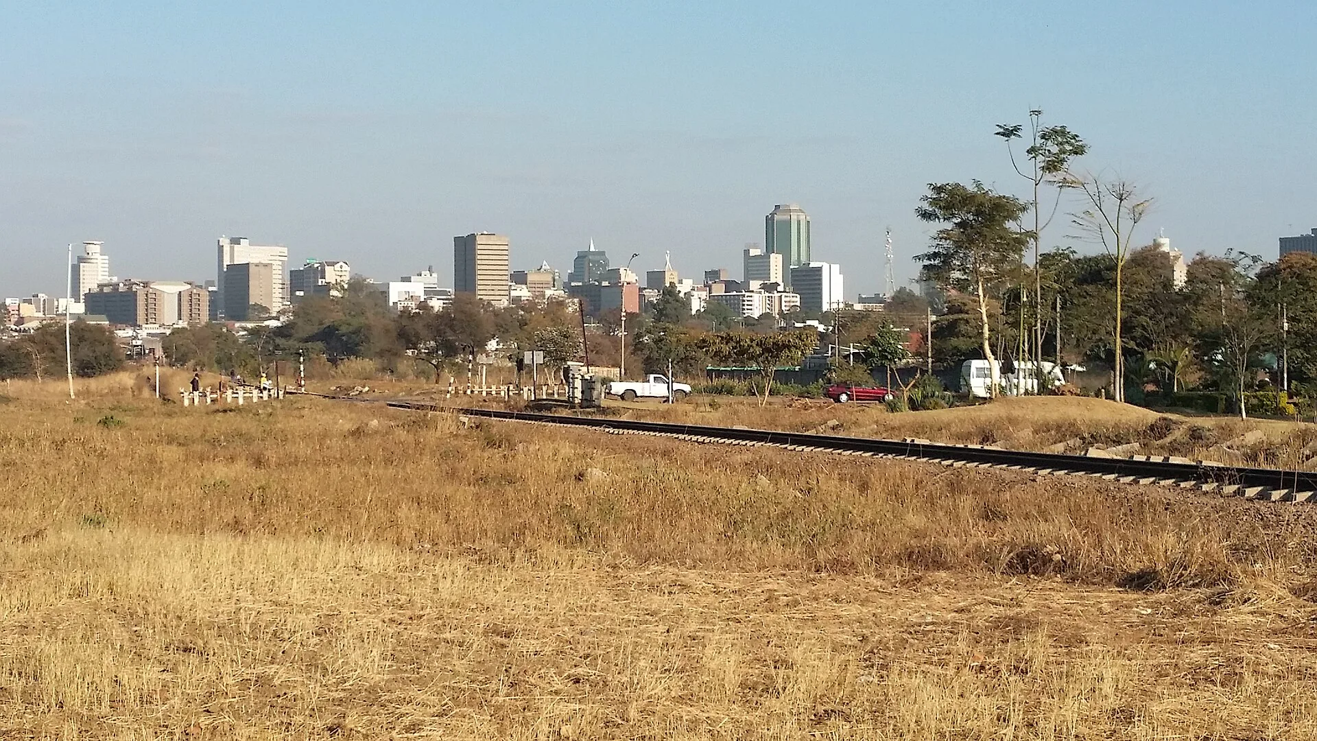
Where your trip starts — and worth a day of its own.
Most itineraries begin and end here, and the city rewards the day you give it. Mukuvisi Woodlands puts game a fifteen-minute drive from the CBD, the National Gallery holds the country's best contemporary collection, and the balancing rocks at Epworth are the ones printed on the old banknotes.
- National gateway airport
- Mukuvisi Woodlands
- Epworth balancing rocks
What you'd do
- Mukuvisi Woodlands game walk and drive
- National Gallery of Zimbabwe and the craft markets
- Epworth balancing rocks
- Day trips to Domboshava and Lake Chivero
Best time
Year-round. May to August is dry and mild; the jacarandas flower in October.
From Harare
You're already here.
Pick two or three and we'll join them up
Most trips combine a park with the falls or the highlands. Tell us how long you have.